Weekly Dose Of Spring
Just after the official beginning of Spring, many wondered why there had been so little severe weather so far this year. A lot was made about the seemingly perpetual winter across the northeast accentuated by the record snowfall in Boston. However, by the end of March, things began to change as nearly weekly, there have been successive cold fronts of varying strengths emerging from the Central Plains and advancing across the Mississippi. Prior to March 25, there had been no reports of tornadoes and since then 33,
While each week has been different, the pattern has revealed similar traits the lead to severe weather. A dip or trough in the upper-level wind pattern, as indicated by the 500 mb patterns and a strong southerly flow ahead of an approaching cold front:
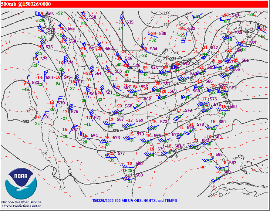
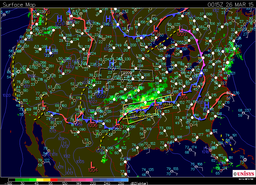
500 mb – March 25th 7 PM EDT Surface Chart – March 25th 7 PM EDT
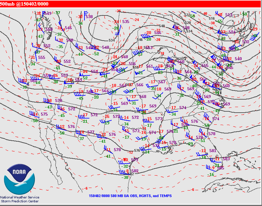

500 mb – April 2nd 7 PM EDT Surface Chart – April 2nd 7 PM EDT
Notice the coincident severe storms along the cold front. The current forecast shows this pattern for later this week:
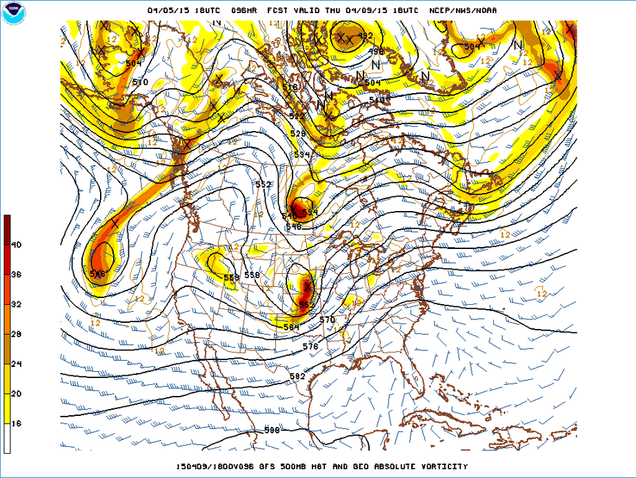

500 mb forecast for April 9 2 PM EDT SPC Forecast for severe weather
Long-range models indicate there could even be another round of severe weather the week taxes are due, again in the middle of the week.
Well, it is spring and typically, this is the time of year storms do develop. It is interesting that this pattern has manifested several weeks in a row.