Will The Sun EVER Return?!

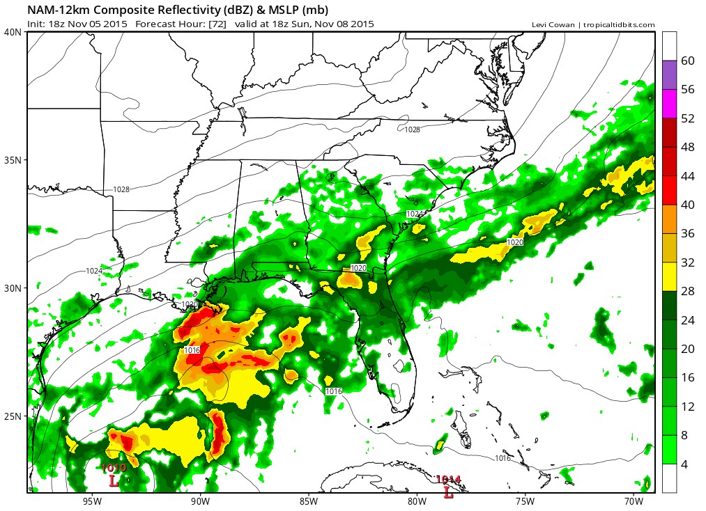
The Southeast has been foggy and soggy since Halloween and it looks like there could be even more wet weather for nearly another week! Above is a depiction of the forecast rainfall through Monday with 3+ inch amounts possible across portions of Mississippi, Georgia and Tennessee. Those heavy amounts arrive as a cold front eases in from the north. Here is the day-by-day progression of the front and subsequent rain. First by Saturday:

And then by Sunday:
At first, it may seem that all of the rain is pushing southward and things might clear up. However, as surface high pressure builds in from the north, upper-level winds will continue to come in from the southwest. This classic “overrunning” pattern will keep clouds in place for several days along with occasional intermittent rain. A stronger cold front could arrive around November 13 (an omen?) followed by colder air and perhaps an end of rain and a return of the sun.
The bottom line – keep the umbrella handy and while there isn’t an immediate concern for flooding, that will have to be monitored so continue to check back as conditions evolve.