Hurricane Danny Is Here, But For How Long?
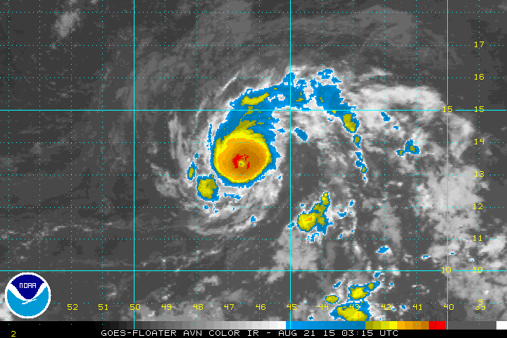
Danny became the first hurricane of the 2015 Atlantic season; above you can see the well-defined eye. It continues to chug westward through the Atlantic and will approach the eastern Caribbean by the end of the weekend. The Thursday night projection from the National Hurricane Center shows that Danny will weaken once it arrives in Puerto Rico. Residents of that island may get some much needed rain; hopefully wind and surge effects won’t be too extreme.

So why will Danny’s strength change? The reason for this has to do with wind shear, or the change of wind speed with height. Those kind of winds greatly disrupt a tropical system from maintaining its strength. The sequence of maps from the GFS computer model show the wind shear over Danny as a ribbon of red moving by Sunday evening:

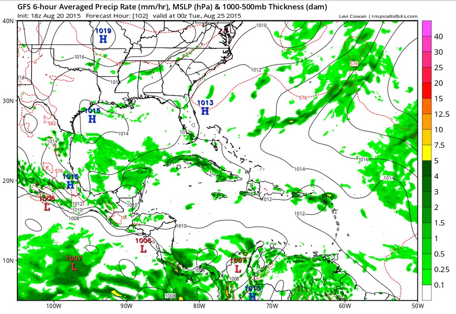
That wind shear continues and the impact is seen by Monday night. Danny might not even exist by then; it isn’t even visible in the surface chart by then:
You may have seen some projections on line a few days ago showing Danny moving through the Caribbean and entering the Gulf. While a long-range model did project this; it appears to be off. The environment a tropical system is moving into is as important as the storm itself. This is why it is important to track and analyze continually.